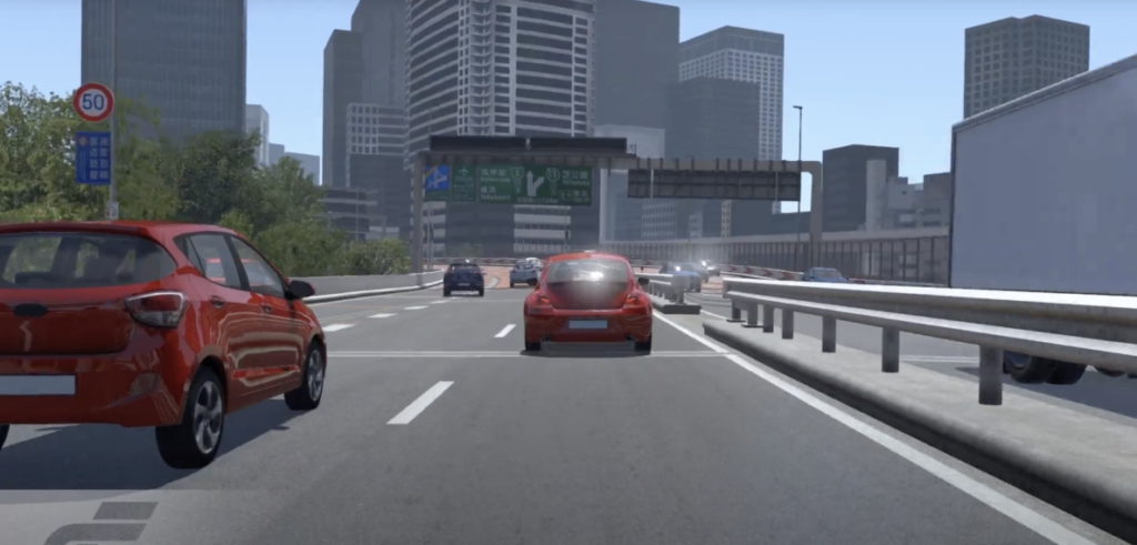
Simulation software specialist rFpro says it has created the highest accuracy digital twin of Tokyo’s famous Shuto Expressway, Inner Circular route, specifically for vehicle engineering developers.
The 35km section of road, also known as the C1 route Expressway, has been modeled using survey-grade lidar scan data to create a vehicle dynamics grade road surface, which is accurate to within 1mm.
The company states that the environment is not only geometrically precise but functionally accurate too with each of the thousands of road signs, markings and roadside objects being individually classified.
“The C1 route is one of the most challenging stretches of city roads in the world for an autonomous vehicle to navigate,” explained Matt Daley, rFpro managing director. “With constantly changing road curvature and elevation, complex and densely situated junctions and a huge array of road signs and markings, it is the ultimate test of autonomous vehicle technologies and is the perfect way to exercise and develop such capabilities safely.”
The digital twin also enables users to add intelligent and scripted traffic to create an almost infinite number of test scenarios in this model with the ability to vary the types of vehicles, their speeds, color and density of traffic.
rFpro’s system also allows a large number of humans to drive in the model at the same time, enabling the most complex edge case scenarios to be created and recorded.


